A European-Japanese satellite has achieved a milestone that weather forecasters have pursued for decades: the operational use of spaceborne cloud radar data in global weather prediction models. The EarthCARE mission, a joint venture between ESA and JAXA, is now providing daily data that directly sharpens forecasts of storms, heavy rainfall, and extreme weather events.
On June 10, 2026, the European Centre for Medium-Range Weather Forecasts (ECMWF) began assimilating data from EarthCARE’s Cloud Profiling Radar (CPR) into its Integrated Forecasting System, marking the first time any global weather model has operationally ingested cloud radar measurements from orbit.
A New View of Clouds
EarthCARE (Earth Clouds, Aerosols and Radiation Explorer), also known by the Japanese name Hakuryu or “White Dragon,” was launched on May 28, 2024, aboard a Falcon 9 from Vandenberg Space Force Base in California. It carries four instruments that work in concert to measure exactly the same point in the atmosphere at the same instant, an unprecedented level of simultaneity.
The Cloud Profiling Radar, provided by JAXA, is the first spaceborne Doppler cloud radar. Operating at 94 gigahertz, it can penetrate thick clouds to measure their vertical structure, water and ice content, particle size, and the fall velocity of precipitation. It detects 98 percent of ice clouds, which are critical for Earth’s radiation budget.
A complementary ultraviolet LiDAR, ATLID (Atmospheric LiDAR), measures the vertical profiles of aerosols: dust, pollution, and sea salt. The Multi-Spectral Imager provides contextual cloud classification across a 150-kilometer (93-mile) swath. The BroadBand Radiometer measures top-of-atmosphere radiative fluxes, both reflected solar and emitted thermal, to validate the energy balance calculations derived from the other instruments.
From Science to Forecasts
The path from satellite measurement to improved forecast is not automatic. ECMWF’s assimilation of CPR data required years of preparatory work: developing algorithms to convert raw radar reflectivity into information the weather model could use, running observing system experiments, and validating the results against independent measurements.
The concrete improvement is visible in individual cases. A thunderstorm near 27 degrees north latitude, with cloud tops above 18 kilometers (11 miles), was represented much more accurately in both horizontal extent and vertical structure after EarthCARE data was assimilated. The radar data effectively “nudges” the model’s simulated atmosphere toward real observations of where clouds are, what they contain, and how they are structured vertically.
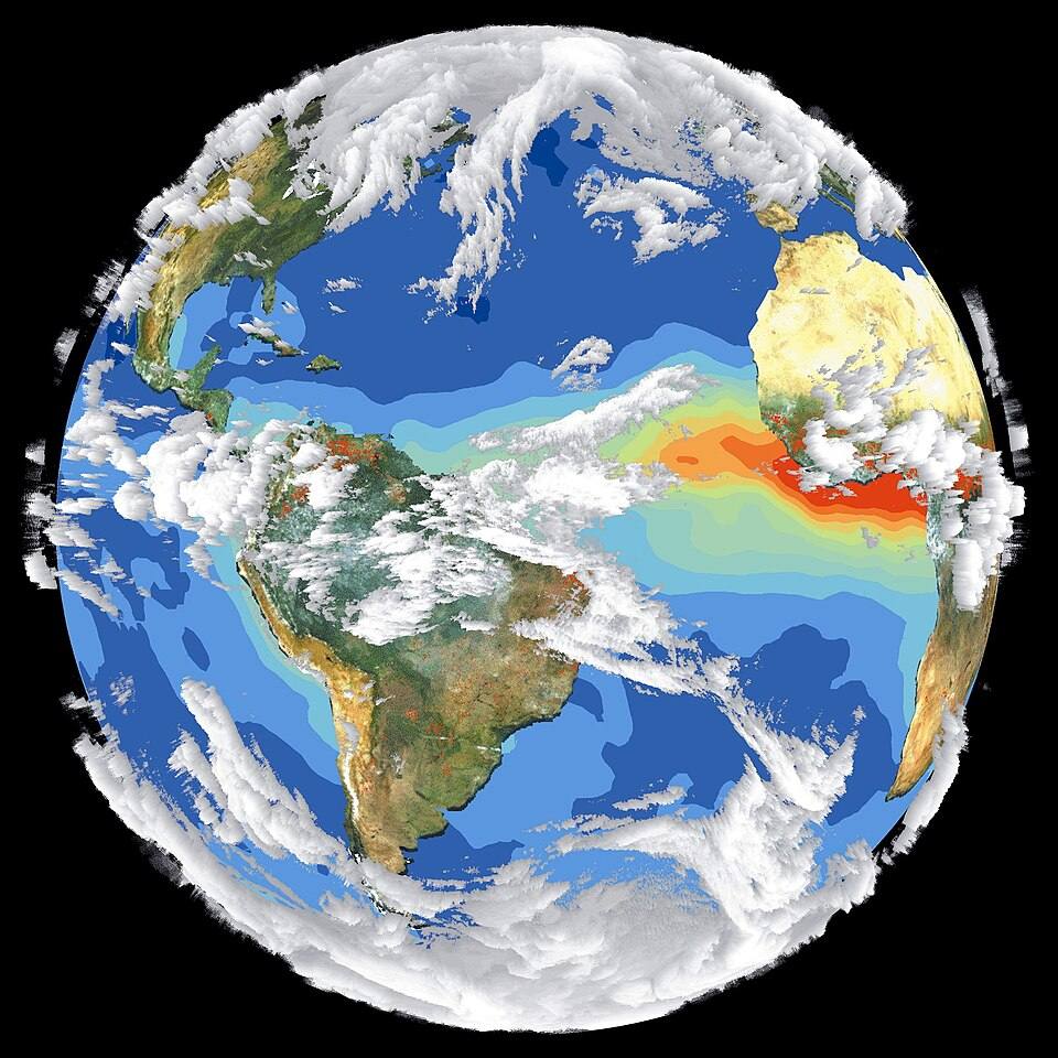
Clouds remain the largest single source of uncertainty in both weather forecasts and climate models. The way clouds form, evolve, and interact with radiation is extraordinarily complex, and models have long struggled to represent them correctly. EarthCARE’s direct measurements reduce that uncertainty by providing an anchor in real data.
A Mission Two Decades in the Making
EarthCARE was conceived as part of ESA’s Earth Explorer program in the early 2000s and was originally scheduled to launch on a Russian Soyuz rocket. The invasion of Ukraine forced a switch to Falcon 9, delaying the launch by roughly two years.
Since reaching orbit, the mission has accumulated a string of achievements. It demonstrated radiative closure within six months: the ability to calculate cloud radiative impacts from its active and passive instruments and verify them against its own broadband radiometer measurements, validating the entire data processing chain. It captured Category 5 Hurricane Humberto’s eye in September 2025 and Typhoon Sinlaku in April 2026. Its instrument calibration proved so precise that ground and airborne reference equipment had to be readjusted to match.
The operational assimilation milestone is expected to improve forecasts of typhoons, heavy rainfall, floods, and landslides, strengthening early warning capabilities. ECMWF plans to expand the use of EarthCARE data as the processing algorithms mature and additional instrument synergy products become available.