Official flood maps in the United States cover only about one-third of river channels. For the remaining two-thirds — including many communities in flood-prone regions — there has been no systematic, publicly available assessment of flood risk. A team of researchers led by Abraham Noah Wu at Tsinghua University and the National University of Singapore has now filled that gap with an artificial intelligence model that produces the first spatially complete flood hazard map of the contiguous United States.
The result, published in Nature Communications, is sobering. The AI model reveals that over 11 million additional people live in areas at risk of 100-year floods — a 69% increase over what official FEMA records show.
The model, called FloodMapper, is built on a pix2pix generative adversarial network (GAN) — an architecture designed for image-to-image translation. It was trained on existing FEMA Flood Insurance Rate Maps, which cover only the one-third of US river channels that have been formally studied. The model learns the relationship between terrain features — elevation, slope, hydrography — and flood zone boundaries as drawn by expert engineers.
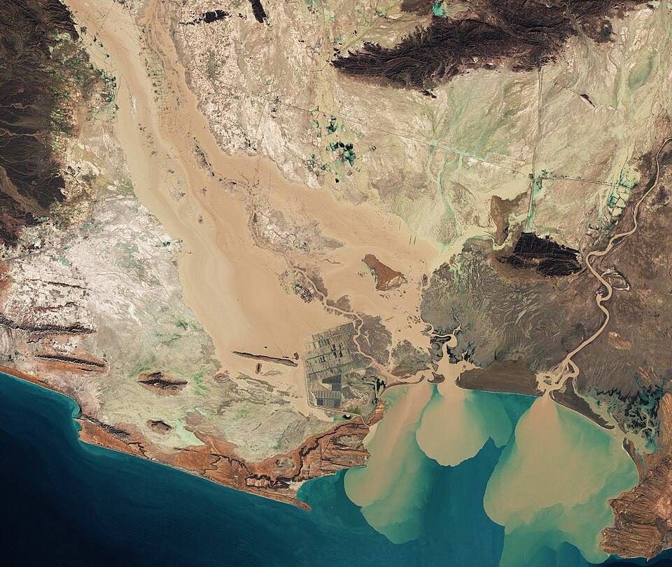
Once trained, the model applies this knowledge to unmapped regions. Using only publicly available terrain data as input, it produces 30-meter resolution flood hazard maps that demarcate 100-year flood zones — areas with a 1% annual chance of flooding.
The approach solves what the researchers call the “trilemma between accuracy, scale, and cost” in national flood mapping. Traditional engineering surveys are accurate but expensive and slow. Physically based hydrodynamic models are computationally intensive. AI offers a middle path: once trained, the model can map the entire lower 48 states at high resolution in hours rather than years.
The gap in coverage
FEMA’s National Flood Hazard Layer, the official source of flood risk information in the US, was never designed to be comprehensive. It was created to inform the National Flood Insurance Program, which means it prioritizes populated areas where property owners need insurance. Rural communities, lower-income areas on the outskirts of cities, and regions where flood risk has changed due to climate shifts are often missing.
“Official flood maps are indispensable where they exist,” the authors write, “but their spatial incompleteness creates blind spots that disproportionately affect underserved communities.”
The FloodMapper model fills all unmapped regions and updates legacy extents where existing maps are outdated. The 30-meter resolution is finer than most continental-scale flood assessments and allows identification of flood-prone neighborhoods within larger municipalities.
Wu, Ye Zhang, and Rudi Stouffs developed the model between Tsinghua University, the National University of Singapore, and the ETH Zurich Future Cities Laboratory. The code and training data are openly available on GitHub and Figshare.
Caveats and limitations
The model learns from FEMA maps, so any biases in FEMA’s existing methodology may propagate. FEMA maps have historically been criticized for under-counting flood risk in certain regions and for not adequately incorporating climate change projections.
As an unsupervised GAN, FloodMapper generates plausible flood zones based on statistical patterns rather than physics-based hydrodynamic simulation. Validation against known flood events in unmapped regions will be necessary to establish reliability.
The map covers the contiguous United States only — Alaska, Hawaii, and US territories are not included.
What it means
For the 11 million Americans living in areas the model identifies as flood-prone but that are not on official FEMA maps, the finding carries practical consequences. Flood insurance is typically required only in FEMA-designated flood zones. Homebuyers, renters, and local planners have had no systematic way to assess flood risk in unmapped areas.
The FloodMapper team describes the work as a step toward “targeted and equitable climate adaptation” — reducing the information asymmetry that leaves some communities unaware of their exposure to flood risk until the water rises.
Source: Wu, A.N., Zhang, Y., Stouffs, R. “Deep learning completes US flood hazard maps revealing millions exposed to previously unrecognized risk.” Nature Communications (2026). DOI: 10.1038/s41467-026-74336-x. Code available at github.com/Iceofsky/FloodMapper.