

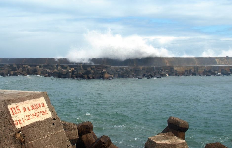
This is a follow-up to 1ban.news’s coverage of Super Typhoon Bavi’s landfall on Guam on July 6, 2026.
Four days after slamming Guam as a Category 5-equivalent super typhoon, Bavi has transformed into a different kind of threat. The storm has weakened substantially, sustained winds have dropped from 285 km/h to approximately 140 km/h, and central pressure has risen from 906 hPa to 962 hPa. But in a classic post-peak pattern, Bavi has expanded dramatically in size, now spanning approximately 1,000 km, the width of France, making it the largest storm to threaten Taiwan since 1987.
The storm is now on a trajectory that threatens three East Asian landmasses in sequence: Taiwan, the southern Japanese islands, and southeastern China.
Taiwan Braces for Record Rainfall
Taiwan’s Central Weather Administration has warned that the storm could dump up to 1 meter (39 inches) of rain on the island’s north and east coasts. Schools have been closed, sandbags distributed, and supermarket shelves cleared. Japan Airlines and All Nippon Airways have canceled more than 260 flights combined, affecting approximately 40,000 passengers. Thai Airways and Malaysia Airlines have grounded flights to and from Taipei.
The primary danger from Bavi at this stage is not wind but water. The storm’s slow forward speed and massive size mean prolonged, intense rainfall over mountainous terrain, a recipe for catastrophic landslides and flash flooding. Fifteen people have already been killed in the Philippines by landslides triggered by Bavi’s outer bands on Mindanao, with rescue teams still searching for the missing.
Regional Mobilization
Taiwan has placed 29,000 soldiers on standby for disaster response. China has also activated emergency protocols for its southeastern provinces, where Bavi is expected to make landfall on July 11. The storm’s outer bands may push northward into Jiangsu, Anhui, and the Bohai Sea region, provinces that have less experience with typhoon preparations.
In Japan, the Sakishima Islands, the southernmost inhabited islands of the Ryukyu chain, are under high alert.
A Storm of Two Phases
The contrast between Bavi’s two phases illustrates the dual nature of tropical cyclone threats. On July 6, the danger was wind: 285 km/h winds that caused widespread structural damage across Guam. On July 10, the danger is water: a vastly expanded rain field moving slowly over densely populated coastal regions. For Taiwan and southeastern China, the primary risk will be measured not in wind speed but in centimeters of rainfall and the landslides that follow.
Residents have been warned not to be deceived by any temporary calm. “Don’t be fooled by the nice and calm weather now,” one local fisherman told reporters. “A storm like this could be the most terrifying.”
Source: “Typhoon Bavi threatens Taiwan, Japan, and China.” BBC News, July 10, 2026. https://www.bbc.co.uk/news/articles/c04y6wr03gxo
Previous coverage: “Super Typhoon Bavi (Cat 4-5) hits Guam/NMI with 290 km/h winds.” 1ban.news, July 6, 2026.