Xona Space Systems’ experimental satellite Pulsar-0 has produced the first space-based map of GPS interference across Europe and the Middle East, revealing a scale of signal jamming that far exceeds prior estimates. The findings, published by Space.com on June 18, show GPS signal strength dropping from 40 decibels to as little as 10 decibels in the hardest-hit regions, stretching from France to the borders of Pakistan.
“As soon as we started doing any operations above Europe, we noticed that there was really something going on there,” Kaz Gunning, Xona’s co-founder, told Space.com. “We thought we were going to see some jamming, but it’s quite a bit more than we expected.”
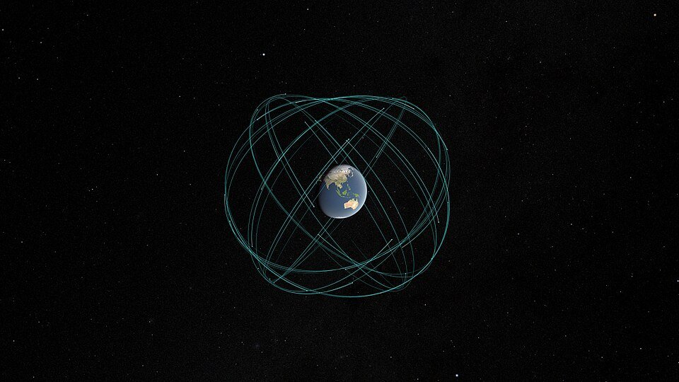
The satellite orbits at approximately 500 kilometers (310 miles) in low Earth orbit and is the first spacecraft designed specifically to map GNSS (Global Navigation Satellite System) interference from above. The results are stark: across a broad corridor spanning Europe, the Middle East, and parts of South Asia, GPS signals are being overwhelmed by ground-based jammers at levels that degrade satellite operations and disrupt ground receivers.
In contrast, Pulsar-0 detected “beautiful signal all the time” over North America, where no significant jamming was observed.
The interference is not only a ground-level problem. Gunning noted that satellites in low Earth orbit cannot reliably determine their position or altitude while passing over affected regions, cannot accurately point their telecommand antennas, and are impaired in collision-avoidance manoeuvres — a critical concern for large constellations such as Starlink.
Types of GPS interference
Two distinct threats drive the scale of the problem:
- Jamming — overpowering GPS signals with noise, effectively blinding receivers in the affected area. This technique is widely used in conflict zones and near borders.
- Spoofing — transmitting false GPS coordinates to override genuine signals, causing receivers to report incorrect positions. Spoofing has been documented in cases ranging from drone defense systems to ships concealing their locations in restricted waters.
Current hotspots include Russia’s western borders, where tens of thousands of commercial flights experience GPS disruptions every month, and the Middle East, where jamming and spoofing are used as part of electronic warfare and to hide illicit maritime activity.
The vulnerability of critical infrastructure
GNSS is not optional infrastructure. It underpins the timing signals that synchronise power grids, financial transactions, and telecommunications networks. It guides precision agriculture, oil drilling operations, and satellite collision-avoidance systems. A sustained degradation event can halt farming over entire regions — as happened during the May 2024 Gannon superstorm, a solar event that disrupted GNSS-reliant precision agriculture for days.
The Pulsar-0 findings suggest that deliberate, ground-based interference poses a more persistent and widespread threat than even severe solar weather. And because the affected region covers some of the world’s most congested airspace and busiest shipping lanes, the economic and safety implications are substantial.
Xona’s solution: stronger signals from space
Xona is building a 300-satellite constellation designed to provide positioning, navigation, and timing (PNT) services with signals 100 times stronger than existing GPS.
The company argues that stronger signals shrink the effective radius of jamming. “The effect of the jamming is going to be reduced to a smaller radius,” Gunning said. “The degradation area will go down, and the full lock-out radius will also go down.”
The first batch of six satellites is scheduled to launch in October 2026, with basic service expected by early 2027. Xona raised US$170 million (approximately £134 million) in Series C funding in March 2026 to fund the build-out. Early timekeeping customers are expected by the end of 2026.
The Pulsar-0 satellite, which carries a GPS receiver for interoperability, will continue mapping interference as the constellation is deployed.
What this means
The Pulsar-0 data represents a shift in how GNSS threats are understood. Prior assessments relied on ground-based monitoring stations, which capture only localised interference. Space-based mapping reveals the full geographic scale of the problem — and it is significantly larger than ground-based data suggested.
For governments and regulators, the findings argue for investment in backup PNT infrastructure that does not depend on satellite signals, and for diplomatic efforts to establish norms against GPS jamming and spoofing. For satellite operators, they suggest that the threat environment for low Earth orbit is more hostile than previously understood.
For users of GPS-dependent services — which is to say, everyone — the data is a reminder that the positioning, navigation, and timing layer that modern economies rely on is fragile, contested, and far more actively targeted than most realise.
Sources: Space.com (June 18); Xona Space Systems